
Thank you for supporting this site ❤️
Make a donation
Make a donation
Valdosende topographic map
Click on the map to display elevation.
Thank you for supporting this site ❤️
Make a donation
Make a donation
About this map
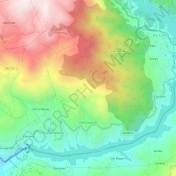
Name: Valdosende topographic map, elevation, terrain.
Location: Valdosende, Terras de Bouro, Braga, Portugal (41.64950 -8.25578 41.68532 -8.19850)
Average elevation: 394 m
Minimum elevation: 74 m
Maximum elevation: 876 m
Thank you for supporting this site ❤️
Make a donation
Make a donation