
渡溪 topographic map
Interactive map
Click on the map to display elevation.
About this map
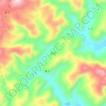
Name: 渡溪 topographic map, elevation, terrain.
Location: 渡溪, 新晃侗族自治县, 怀化市, 湖南省, 中国 (27.15677 109.00314 27.19677 109.04314)
Average elevation: 726 m
Minimum elevation: 539 m
Maximum elevation: 968 m
Other topographic maps
Click on a map to view its topography, its elevation and its terrain.