
Thank you for supporting this site ❤️
Make a donation
Make a donation
Pecos topographic map
Click on the map to display elevation.
Thank you for supporting this site ❤️
Make a donation
Make a donation
About this map
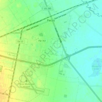
Name: Pecos topographic map, elevation, terrain.
Location: Pecos, Reeves County, Texas, United States (31.37193 -103.53768 31.43876 -103.47474)
Average elevation: 790 m
Minimum elevation: 781 m
Maximum elevation: 803 m
Thank you for supporting this site ❤️
Make a donation
Make a donation