
Thank you for supporting this site ❤️
Make a donation
Make a donation
Saddle Ridge Park topographic map
Click on the map to display elevation.
Thank you for supporting this site ❤️
Make a donation
Make a donation
About this map
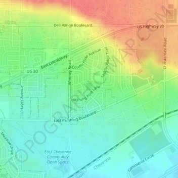
Name: Saddle Ridge Park topographic map, elevation, terrain.
Average elevation: 1,829 m
Minimum elevation: 1,803 m
Maximum elevation: 1,871 m
Thank you for supporting this site ❤️
Make a donation
Make a donation
Other topographic maps
Click on a map to view its topography, its elevation and its terrain.
Ranchettes
United States > Wyoming > Laramie County > Cheyenne > Ranchettes
Average elevation: 1,869 m