
Kharroub topographic map
Interactive map
Click on the map to display elevation.
About this map
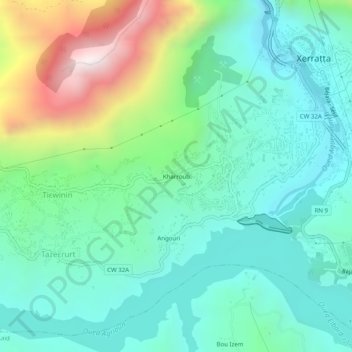
Name: Kharroub topographic map, elevation, terrain.
Location: Kharroub, Kherrata, Daïra Kherrata, Béjaïa, 06004, Algérie (36.46014 5.23768 36.50014 5.27768)
Average elevation: 703 m
Minimum elevation: 411 m
Maximum elevation: 1,518 m