
Thank you for supporting this site ❤️
Make a donation
Make a donation
Amboli topographic map
Click on the map to display elevation.
Thank you for supporting this site ❤️
Make a donation
Make a donation
About this map
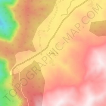
Name: Amboli topographic map, elevation, terrain.
Location: Amboli, Sawantwadi, Sindhudurg, Maharashtra, 416532, India (15.94672 73.99053 15.98672 74.03053)
Average elevation: 734 m
Minimum elevation: 327 m
Maximum elevation: 935 m
Thank you for supporting this site ❤️
Make a donation
Make a donation