
火红乡 topographic map
Interactive map
Click on the map to display elevation.
About this map
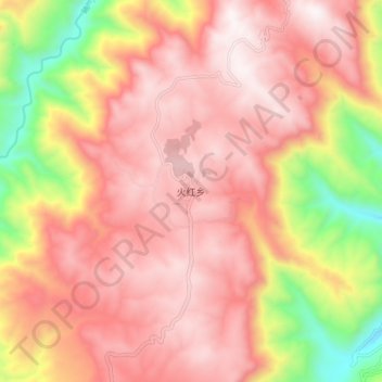
Name: 火红乡 topographic map, elevation, terrain.
Location: 火红乡, 会泽县, 曲靖市, 云南省, 中国 (26.78508 103.61226 26.86508 103.69226)
Average elevation: 2,223 m
Minimum elevation: 1,533 m
Maximum elevation: 2,617 m
Other topographic maps
Click on a map to view its topography, its elevation and its terrain.