
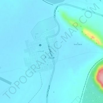
Fderîck topographic map
Interactive map
Click on the map to display elevation.
About this map
Name: Fderîck topographic map, elevation, terrain.
Location: Fderîck, Tiris Zemmour, Mauritania (22.67228 -12.71724 22.68408 -12.70712)
Average elevation: 305 m
Minimum elevation: 290 m
Maximum elevation: 456 m