
Lukeville topographic map
Interactive map
Click on the map to display elevation.
About this map
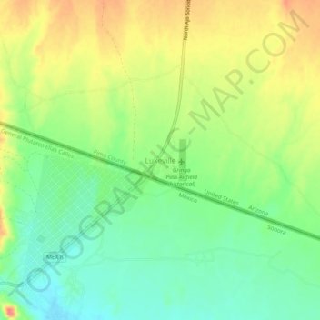
Name: Lukeville topographic map, elevation, terrain.
Location: Lukeville, Pima County, Arizona, 85341, United States (31.86198 -112.83534 31.90198 -112.79534)
Average elevation: 428 m
Minimum elevation: 401 m
Maximum elevation: 460 m