
Thank you for supporting this site ❤️
Make a donation
Make a donation
Awenne topographic map
Click on the map to display elevation.
Thank you for supporting this site ❤️
Make a donation
Make a donation
About this map
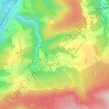
Name: Awenne topographic map, elevation, terrain.
Location: Awenne, Saint-Hubert, Neufchâteau, Luxembourg, Wallonia, Belgium (50.05590 5.28724 50.09467 5.34638)
Average elevation: 363 m
Minimum elevation: 225 m
Maximum elevation: 491 m
Thank you for supporting this site ❤️
Make a donation
Make a donation