
拖顶傈僳族乡 topographic map
Interactive map
Click on the map to display elevation.
About this map
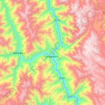
Name: 拖顶傈僳族乡 topographic map, elevation, terrain.
Location: 拖顶傈僳族乡, 德钦县, 迪庆藏族自治州, 云南省, 中国 (27.60953 99.31975 27.95832 99.52114)
Average elevation: 3,217 m
Minimum elevation: 1,899 m
Maximum elevation: 4,491 m
Other topographic maps
Click on a map to view its topography, its elevation and its terrain.