
Thank you for supporting this site ❤️
Make a donation
Make a donation
Roseland topographic map
Click on the map to display elevation.
Thank you for supporting this site ❤️
Make a donation
Make a donation
About this map
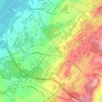
Name: Roseland topographic map, elevation, terrain.
Location: Roseland, Essex County, New Jersey, 07068, United States (40.80683 -74.33495 40.83830 -74.27632)
Average elevation: 114 m
Minimum elevation: 47 m
Maximum elevation: 191 m
Thank you for supporting this site ❤️
Make a donation
Make a donation