
Haugan topographic map
Interactive map
Click on the map to display elevation.
About this map
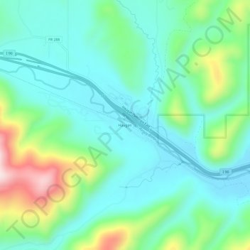
Name: Haugan topographic map, elevation, terrain.
Location: Haugan, Mineral County, Montana, United States (47.36326 -115.41959 47.40326 -115.37959)
Average elevation: 1,044 m
Minimum elevation: 935 m
Maximum elevation: 1,366 m