
Thank you for supporting this site ❤️
Make a donation
Make a donation
East Bernard topographic map
Click on the map to display elevation.
Thank you for supporting this site ❤️
Make a donation
Make a donation
About this map
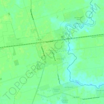
Name: East Bernard topographic map, elevation, terrain.
Location: East Bernard, Wharton County, Texas, United States (29.50314 -96.09334 29.54972 -96.03361)
Average elevation: 38 m
Minimum elevation: 31 m
Maximum elevation: 41 m
Thank you for supporting this site ❤️
Make a donation
Make a donation