
Andabeløy topographic map
Interactive map
Click on the map to display elevation.
About this map
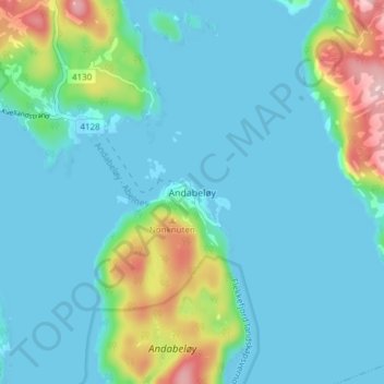
Name: Andabeløy topographic map, elevation, terrain.
Location: Andabeløy, Flekkefjord, Agder, 4434, Norvège (58.21220 6.65208 58.25220 6.69208)
Average elevation: 37 m
Minimum elevation: 0 m
Maximum elevation: 202 m