
Thank you for supporting this site ❤️
Make a donation
Make a donation
Telmar topographic map
Click on the map to display elevation.
Thank you for supporting this site ❤️
Make a donation
Make a donation
About this map
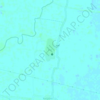
Name: Telmar topographic map, elevation, terrain.
Location: Telmar, Harnaut, Nalanda, Bihar, India (25.42034 85.43449 25.42657 85.43817)
Average elevation: 46 m
Minimum elevation: 44 m
Maximum elevation: 49 m
Thank you for supporting this site ❤️
Make a donation
Make a donation
Other topographic maps
Click on a map to view its topography, its elevation and its terrain.