
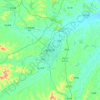
梅河口市 topographic map
Interactive map
Click on the map to display elevation.
About this map
Name: 梅河口市 topographic map, elevation, terrain.
Location: 梅河口市, 解放街道, 梅河口市, 通化市, 吉林省, 中国 (42.37583 125.53253 42.69583 125.85253)
Average elevation: 349 m
Minimum elevation: 304 m
Maximum elevation: 577 m