
Thank you for supporting this site ❤️
Make a donation
Make a donation
Kotli Kalan topographic map
Click on the map to display elevation.
Thank you for supporting this site ❤️
Make a donation
Make a donation
About this map
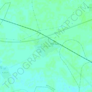
Name: Kotli Kalan topographic map, elevation, terrain.
Location: Kotli Kalan, Mansa Tahsil, Mansa, Punjab, India (30.01894 75.27300 30.05894 75.31300)
Average elevation: 218 m
Minimum elevation: 214 m
Maximum elevation: 220 m
Thank you for supporting this site ❤️
Make a donation
Make a donation