
铁东区 topographic map
Interactive map
Click on the map to display elevation.
About this map
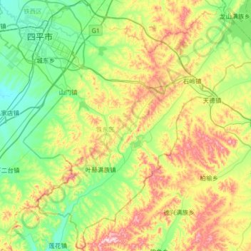
Name: 铁东区 topographic map, elevation, terrain.
Location: 铁东区, 四平市, 吉林省, 中国 (42.82007 124.32729 43.22119 124.88525)
Average elevation: 275 m
Minimum elevation: 137 m
Maximum elevation: 575 m
Other topographic maps
Click on a map to view its topography, its elevation and its terrain.