
Thank you for supporting this site ❤️
Make a donation
Make a donation
Siecha topographic map
Click on the map to display elevation.
Thank you for supporting this site ❤️
Make a donation
Make a donation
About this map
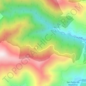
Name: Siecha topographic map, elevation, terrain.
Location: Siecha, Cangas del Narcea, Asturias, Spain (43.15963 -6.68786 43.17963 -6.66786)
Average elevation: 892 m
Minimum elevation: 579 m
Maximum elevation: 1,258 m
Thank you for supporting this site ❤️
Make a donation
Make a donation