
Thank you for supporting this site ❤️
Make a donation
Make a donation
Asaryd topographic map
Click on the map to display elevation.
Thank you for supporting this site ❤️
Make a donation
Make a donation
About this map
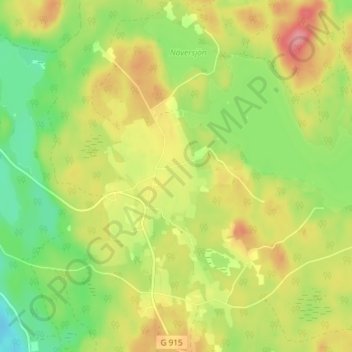
Name: Asaryd topographic map, elevation, terrain.
Location: Asaryd, Växjö kommun, Kronoberg County, Sweden (57.14714 14.82179 57.18714 14.86179)
Average elevation: 220 m
Minimum elevation: 176 m
Maximum elevation: 268 m
Thank you for supporting this site ❤️
Make a donation
Make a donation