
Berkshire County topographic map
Interactive map
Click on the map to display elevation.
About this map
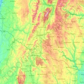
Name: Berkshire County topographic map, elevation, terrain.
Location: Berkshire County, Massachusetts, United States of America (42.03982 -73.50814 42.74585 -72.94944)
Average elevation: 359 m
Minimum elevation: 2 m
Maximum elevation: 1,061 m