
Thank you for supporting this site ❤️
Make a donation
Make a donation
Aranhas topographic map
Click on the map to display elevation.
Thank you for supporting this site ❤️
Make a donation
Make a donation
About this map
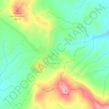
Name: Aranhas topographic map, elevation, terrain.
Location: Aranhas, Penamacor, Castelo Branco, Portugal (40.09831 -7.14334 40.12527 -7.10556)
Average elevation: 482 m
Minimum elevation: 405 m
Maximum elevation: 610 m
Thank you for supporting this site ❤️
Make a donation
Make a donation
Other topographic maps
Click on a map to view its topography, its elevation and its terrain.