
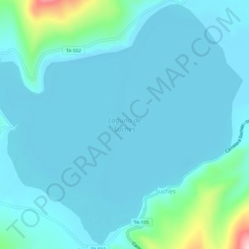
Laguna de Suches topographic map
Interactive map
Click on the map to display elevation.
About this map
Name: Laguna de Suches topographic map, elevation, terrain.
Location: Laguna de Suches, TA-105, Camilaca, Candarave, Tacna, Perú (-16.94859 -70.41895 -16.90706 -70.37403)
Average elevation: 4,480 m
Minimum elevation: 4,449 m
Maximum elevation: 4,718 m