
Thank you for supporting this site ❤️
Make a donation
Make a donation
St. Wendel topographic map
Click on the map to display elevation.
Thank you for supporting this site ❤️
Make a donation
Make a donation
About this map
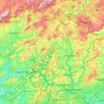
Name: St. Wendel topographic map, elevation, terrain.
Location: St. Wendel, Landkreis St. Wendel, Saarland, Germany (49.31815 6.78535 49.63943 7.30920)
Average elevation: 365 m
Minimum elevation: 195 m
Maximum elevation: 701 m
Thank you for supporting this site ❤️
Make a donation
Make a donation