
Thank you for supporting this site ❤️
Make a donation
Make a donation
Loda topographic map
Click on the map to display elevation.
Thank you for supporting this site ❤️
Make a donation
Make a donation
About this map
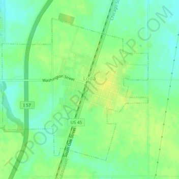
Name: Loda topographic map, elevation, terrain.
Location: Loda, Iroquois County, Illinois, United States (40.50511 -88.08937 40.52654 -88.06037)
Average elevation: 235 m
Minimum elevation: 225 m
Maximum elevation: 243 m
Thank you for supporting this site ❤️
Make a donation
Make a donation
Other topographic maps
Click on a map to view its topography, its elevation and its terrain.