
Peebles topographic map
Interactive map
Click on the map to display elevation.
About this map
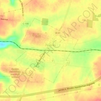
Name: Peebles topographic map, elevation, terrain.
Location: Peebles, Adams County, Ohio, États-Unis d'Amérique (38.93774 -83.42867 38.95692 -83.39023)
Average elevation: 254 m
Minimum elevation: 213 m
Maximum elevation: 274 m