
Shalmsford Street topographic map
Interactive map
Click on the map to display elevation.
About this map
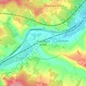
Name: Shalmsford Street topographic map, elevation, terrain.
Average elevation: 54 m
Minimum elevation: 11 m
Maximum elevation: 122 m
Other topographic maps
Click on a map to view its topography, its elevation and its terrain.
Canterbury
Vereinigtes Königreich > England > Kent > Canterbury
Canterbury, Kent, Südostengland, England, CT1 2JQ, Vereinigtes Königreich
Average elevation: 50 m