
La Faurie topographic map
Interactive map
Click on the map to display elevation.
About this map
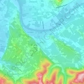
Name: La Faurie topographic map, elevation, terrain.
Average elevation: 115 m
Minimum elevation: 74 m
Maximum elevation: 265 m
Other topographic maps
Click on a map to view its topography, its elevation and its terrain.
Les Fourches
France > Occitanie > Lot > Vire-sur-Lot
Les Fourches, Vire-sur-Lot, Cahors, Lot, Occitanie, France métropolitaine, 46700, France
Average elevation: 145 m