
Juta topographic map
Interactive map
Click on the map to display elevation.
About this map
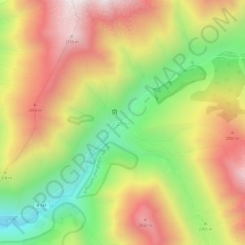
Name: Juta topographic map, elevation, terrain.
Location: Juta, Kazbegi Municipality, Mtskheta-Mtianeti, 4704, Georgia (42.55950 44.72476 42.59950 44.76476)
Average elevation: 2,536 m
Minimum elevation: 1,872 m
Maximum elevation: 3,186 m