
Robert E. Ward Nature Preserve topographic map
Interactive map
Click on the map to display elevation.
About this map
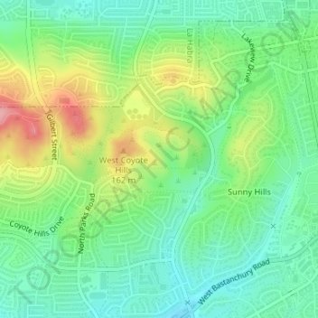
Name: Robert E. Ward Nature Preserve topographic map, elevation, terrain.
Average elevation: 105 m
Minimum elevation: 61 m
Maximum elevation: 185 m