
Canal Latéral à la Loire - Embranchment de Chatillion topographic map
Interactive map
Click on the map to display elevation.
About this map
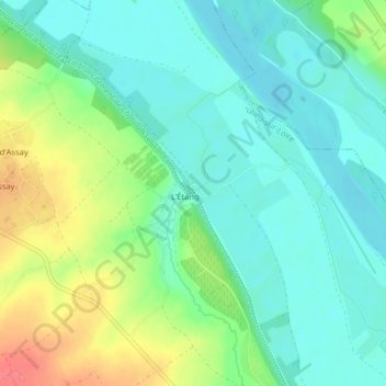
Name: Canal Latéral à la Loire - Embranchment de Chatillion topographic map, elevation, terrain.
Average elevation: 146 m
Minimum elevation: 126 m
Maximum elevation: 187 m