
Thank you for supporting this site ❤️
Make a donation
Make a donation
Stok topographic map
Click on the map to display elevation.
Thank you for supporting this site ❤️
Make a donation
Make a donation
About this map
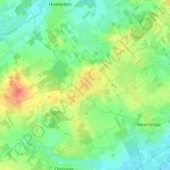
Name: Stok topographic map, elevation, terrain.
Location: Stok, Hoeleden, Kortenaken, Leuven, Vlaams-Brabant, 3471, België (50.82921 4.97732 50.86921 5.01732)
Average elevation: 46 m
Minimum elevation: 29 m
Maximum elevation: 73 m
Thank you for supporting this site ❤️
Make a donation
Make a donation