
Santa Rita topographic map
Interactive map
Click on the map to display elevation.
About this map
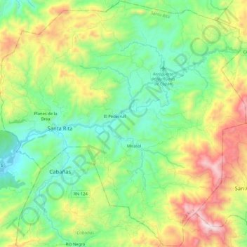
Name: Santa Rita topographic map, elevation, terrain.
Location: Santa Rita, Copán, Honduras (14.77298 -89.14494 14.97077 -88.93924)
Average elevation: 1,016 m
Minimum elevation: 584 m
Maximum elevation: 1,912 m