
Ould Sman topographic map
Interactive map
Click on the map to display elevation.
About this map
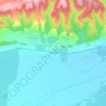
Name: Ould Sman topographic map, elevation, terrain.
Location: Ould Sman, Kandouri, Attatba, Daïra Koléa, Tipaza, Algérie (36.54755 2.62589 36.58755 2.66589)
Average elevation: 93 m
Minimum elevation: 41 m
Maximum elevation: 248 m