
Erlenhof topographic map
Click on the map to display elevation.
About this map
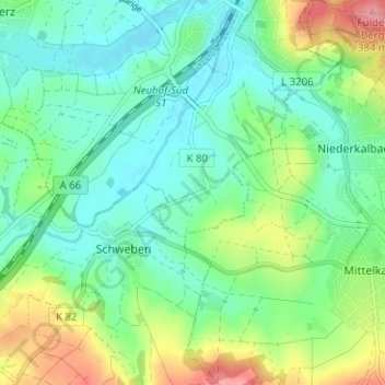
Name: Erlenhof topographic map, elevation, terrain.
Location: Erlenhof, Neuhof, Landkreis Fulda, Hesse, 36119, Germany (50.41224 9.59187 50.45224 9.63187)
Average elevation: 306 m
Minimum elevation: 271 m
Maximum elevation: 386 m
Other topographic maps
Click on a map to view its topography, its elevation and its terrain.
Flieden
Germany > Hesse > Landkreis Fulda
Flieden is located in a valley north west of the Landrücken between the Vogelsberg and the Rhön. It is an area of low hills with the highest elevations being Knöschen near Buchenrod (509 m) and the Storker Küppel near Oberstork (470 m). At the very center of Flieden the creeks Magdloser Wasser und Kautzer…
Average elevation: 376 m