
Gunung Mas topographic map
Interactive map
Click on the map to display elevation.
About this map
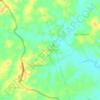
Name: Gunung Mas topographic map, elevation, terrain.
Location: Gunung Mas, Süd-Kalimantan, Indonesien (-3.91266 114.79891 -3.87266 114.83891)
Average elevation: 34 m
Minimum elevation: 19 m
Maximum elevation: 54 m