
Thank you for supporting this site ❤️
Make a donation
Make a donation
La Florida topographic map
Click on the map to display elevation.
Thank you for supporting this site ❤️
Make a donation
Make a donation
About this map
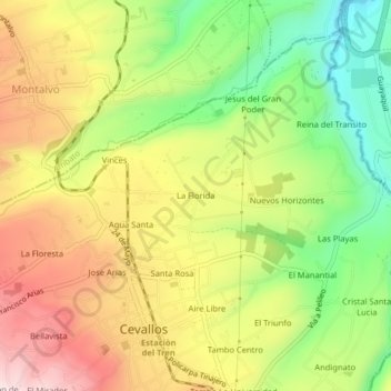
Name: La Florida topographic map, elevation, terrain.
Location: La Florida, Cevallos, Tungurahua, 180156, Ecuador (-1.36126 -78.63107 -1.32126 -78.59107)
Average elevation: 2,837 m
Minimum elevation: 2,628 m
Maximum elevation: 3,054 m
Thank you for supporting this site ❤️
Make a donation
Make a donation
Other topographic maps
Click on a map to view its topography, its elevation and its terrain.