
Bosstraat topographic map
Interactive map
Click on the map to display elevation.
About this map
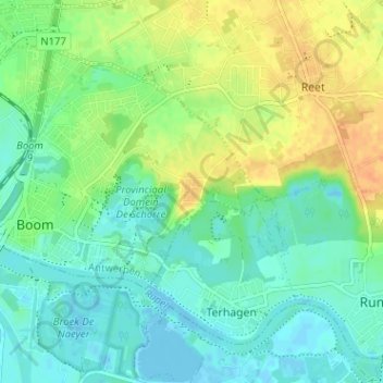
Name: Bosstraat topographic map, elevation, terrain.
Location: Bosstraat, Boom, Antwerpen, Vlaanderen, 2840, België (51.07083 4.37287 51.11083 4.41287)
Average elevation: 12 m
Minimum elevation: -3 m
Maximum elevation: 31 m
Other topographic maps
Click on a map to view its topography, its elevation and its terrain.