
Thank you for supporting this site ❤️
Make a donation
Make a donation
Amor topographic map
Click on the map to display elevation.
Thank you for supporting this site ❤️
Make a donation
Make a donation
About this map
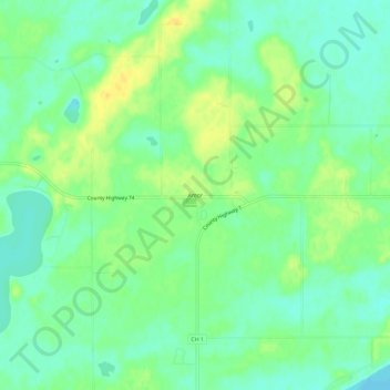
Name: Amor topographic map, elevation, terrain.
Location: Amor, Otter Tail County, Minnesota, United States (46.39246 -95.76533 46.43246 -95.72533)
Average elevation: 411 m
Minimum elevation: 400 m
Maximum elevation: 424 m
Thank you for supporting this site ❤️
Make a donation
Make a donation