
Thank you for supporting this site ❤️
Make a donation
Make a donation
Sindok topographic map
Click on the map to display elevation.
Thank you for supporting this site ❤️
Make a donation
Make a donation
About this map
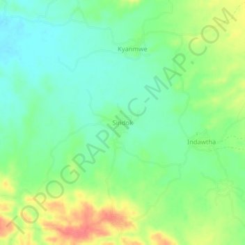
Name: Sindok topographic map, elevation, terrain.
Location: Sindok, Aunglan Township, Thayet District, Magway, Myanmar (19.12500 95.31748 19.16500 95.35748)
Average elevation: 105 m
Minimum elevation: 81 m
Maximum elevation: 144 m
Thank you for supporting this site ❤️
Make a donation
Make a donation