
Lewistown topographic map
Interactive map
Click on the map to display elevation.
About this map
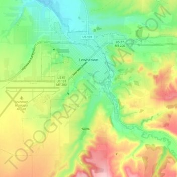
Name: Lewistown topographic map, elevation, terrain.
Location: Lewistown, Fergus County, Montana, 59457, United States (47.02657 -109.49938 47.07870 -109.39783)
Average elevation: 1,247 m
Minimum elevation: 1,174 m
Maximum elevation: 1,349 m