
盘锦市 topographic map
Interactive map
Click on the map to display elevation.
About this map
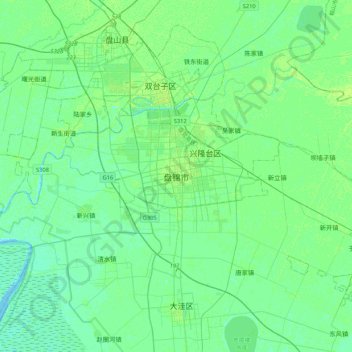
Name: 盘锦市 topographic map, elevation, terrain.
Location: 盘锦市, 辽宁省, 中国 (40.95691 121.90551 41.27691 122.22551)
Average elevation: 4 m
Minimum elevation: -1 m
Maximum elevation: 12 m
Other topographic maps
Click on a map to view its topography, its elevation and its terrain.