
Thank you for supporting this site ❤️
Make a donation
Make a donation
Weston topographic map
Click on the map to display elevation.
Thank you for supporting this site ❤️
Make a donation
Make a donation
About this map
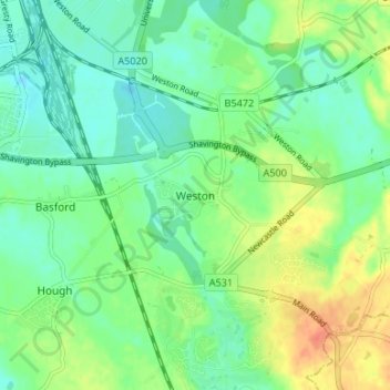
Name: Weston topographic map, elevation, terrain.
Location: Weston, Cheshire East, England, CW2 5GL, United Kingdom (53.04672 -2.42405 53.08672 -2.38405)
Average elevation: 64 m
Minimum elevation: 49 m
Maximum elevation: 91 m
Thank you for supporting this site ❤️
Make a donation
Make a donation