
Thank you for supporting this site ❤️
Make a donation
Make a donation
Blairstown topographic map
Click on the map to display elevation.
Thank you for supporting this site ❤️
Make a donation
Make a donation
About this map
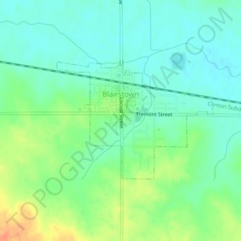
Name: Blairstown topographic map, elevation, terrain.
Location: Blairstown, Benton County, Iowa, United States (41.89899 -92.09423 41.91214 -92.07074)
Average elevation: 261 m
Minimum elevation: 246 m
Maximum elevation: 289 m
Thank you for supporting this site ❤️
Make a donation
Make a donation