
Shegon topographic map
Interactive map
Click on the map to display elevation.
About this map
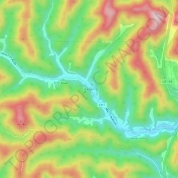
Name: Shegon topographic map, elevation, terrain.
Location: Shegon, Logan County, West Virginia, 25649, United States (37.83566 -82.08902 37.87566 -82.04902)
Average elevation: 372 m
Minimum elevation: 219 m
Maximum elevation: 565 m