
Thank you for supporting this site ❤️
Make a donation
Make a donation
Chandurbazar topographic map
Click on the map to display elevation.
Thank you for supporting this site ❤️
Make a donation
Make a donation
About this map
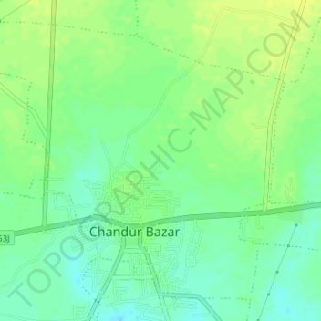
Name: Chandurbazar topographic map, elevation, terrain.
Location: Chandurbazar, Amravati, Maharashtra, India (21.23124 77.73108 21.25686 77.76278)
Average elevation: 376 m
Minimum elevation: 366 m
Maximum elevation: 384 m
Thank you for supporting this site ❤️
Make a donation
Make a donation