
Crête-à-l'Oeil topographic map
Interactive map
Click on the map to display elevation.
About this map
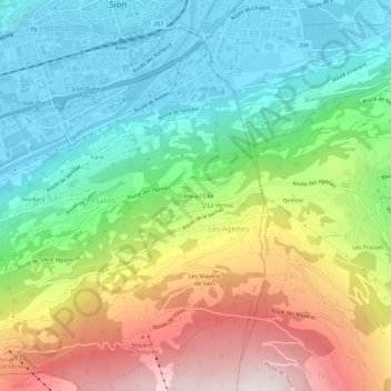
Name: Crête-à-l'Oeil topographic map, elevation, terrain.
Location: Crête-à-l'Oeil, Les Agettes, Sion, Valais/Wallis, 1992, Suíça (46.19153 7.35041 46.23153 7.39041)
Average elevation: 953 m
Minimum elevation: 480 m
Maximum elevation: 1,784 m