
Stutton topographic map
Interactive map
Click on the map to display elevation.
About this map
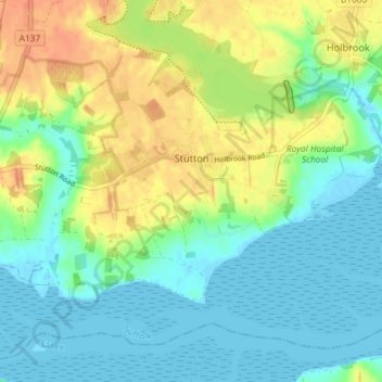
Name: Stutton topographic map, elevation, terrain.
Location: Stutton, Babergh, Suffolk, England, Vereinigtes Königreich (51.94831 1.09670 51.98515 1.16922)
Average elevation: 15 m
Minimum elevation: -2 m
Maximum elevation: 40 m