
汀坪乡 topographic map
Interactive map
Click on the map to display elevation.
About this map
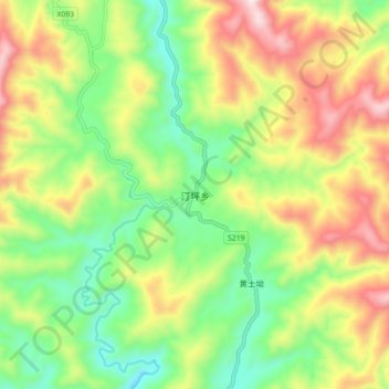
Name: 汀坪乡 topographic map, elevation, terrain.
Location: 汀坪乡, 城步苗族自治县, 邵阳市, 湖南省, 中国 (26.06529 110.23706 26.14529 110.31706)
Average elevation: 908 m
Minimum elevation: 634 m
Maximum elevation: 1,294 m
Other topographic maps
Click on a map to view its topography, its elevation and its terrain.